100 Mile Wilderness
I have been dreaming of hiking the 100 Mile Wilderness for nearly 30 years. The 100 Mile Wilderness is the section of the Appalachian Trail (AT) from Monson, ME to Baxter State Park. It is the most remote section, with nowhere to resupply along the way (unless you pre-arrange a food drop from a local hostel). While I love solitude in nature, a physical challenge, and have always been fascinated by the AT, I never felt compelled to hike and camp for five months straight. But ten days through its most remote stretch? To me, that sounded like a bucket-list requirement.
For years, I was intimidated by the logistics, my lack of backpacking experience, and the challenge of taking that much time off... until the summer of 2026. Suddenly, I had the time—not just to do the trip, but to prepare for it by getting in shape and researching and trying out gear. Realizing I’m not getting any younger, the time was now.
My daily routine had me on the trail by 7:00 or 8:00 AM and at camp by 5:00 or 6:00 PM. In between, I hiked in silence with only my thoughts and random songs popping into my head—for reasons unknown, Gnarls Barkley’s Crazy was on loop. All that quiet time gave me plenty of room to think, even if I didn't solve life’s great mysteries. When fatigue set in, I’d pop in earbuds for an audiobook, but mostly I just soaked in the fresh air, the scent of fir, and the scenery. A few times, as the sunlight hit a ridge just right or shot beams through the trees, the word magical appeared in my mind. I’m not a spiritual person, but those moments were as close as it gets. Barring a few tough miles, I was smiling the entire way, grateful to be there.
This trek felt huge since it would be 3 to 4 times longer than anything I had done previously—and to non-hiking friends and family, it sounded monumental. But in hindsight, after crossing paths with thru-hikers finishing 2,200 miles, my own mileage felt far more modest.
It was a great reminder not to be intimidated by the unknown. Sometimes you just have to step out and do the thing. You’ll make mistakes and feel like a novice around seasoned pros, but everybody starts at step one. There is no reason to have waited 30 years to do this.
It was an incredible journey, made even better by near-perfect weather and no injuries. I'm deeply grateful for the opportunity—and especially to Jesslyn for her endless support in making it happen.
Day by Day
Plan
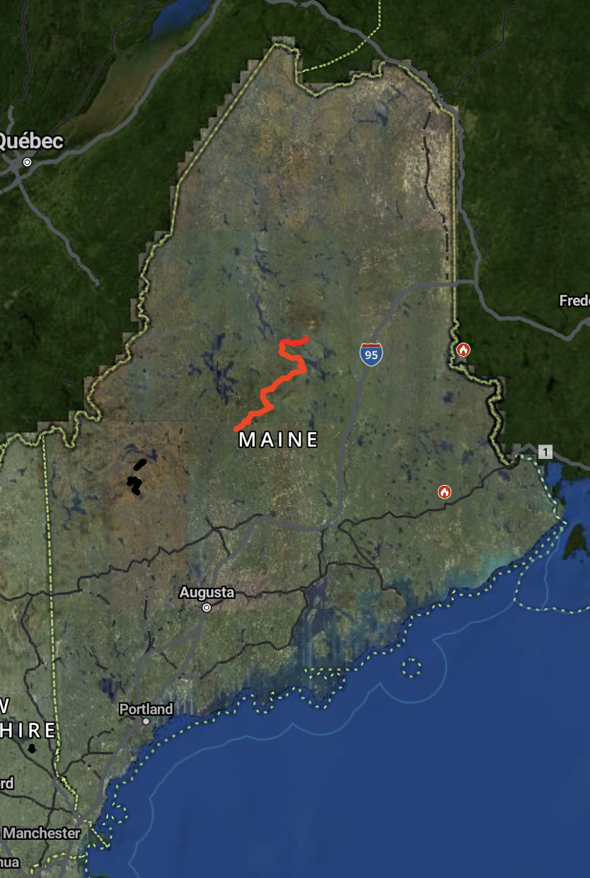
Campsites dot the trail every 5 to 10 miles. Some offer open tent spaces, while others feature lean-tos - rustic three-walled shelters that let you skip pitching a tent. In Maine, all sites sit near a water source and include privies (outhouses); some also provide steel bear boxes to secure food. Concentrating campers and their waste in these spots keeps the surrounding wilderness pristine. The sites are free and operate on a first-come, first-served basis. You can legally dispersed-camp almost anywhere, but finding a flat, root-free spot amidst Maine’s dense forest and terrain is rare, except in a few places, not shown on the map. With that in mind, I mapped out a 7-day, 6-night itinerary at official campsites ahead of time.
Day 1 - Monson Trailhead to Cloud Pond Shelter, ~19 miles, 3,500 ft of elevation gain
The night before the hike, I stayed at the Kineo View Lodge, a 10-minute drive from the trailhead. I hit the trail at 7:00 AM and finished around 6:00 PM after logging just over 19 miles. The terrain was relatively flat for the first 14 miles before climbing Barren Mountain for the final 5. Despite a heavy pack loaded with eight days of food (I packed an extra just in case), my legs were fresh and I felt great.
I was the second hiker to arrive at Cloud Pond Shelter and scored an incredible tent site on a little peninsula. A rush of hikers arrived after me, several well after dark. I heard one hiker complain that there was no room left in the shelter or for another tent, though I think he managed to get creative. I had time to pitch my tent and blow up my sleeping pad in the daylight, while making dinner in the dark.
Some hikers had a campfire going near the shelter, so I joined them to eat. They were through-hikers who had been traveling together for months, and I felt a bit like a party crasher, so I turned in after eating. My tent flapped noisily in the wind all night—mostly due to my inexperience pitching it. Between the wind, first-night excitement, and a mild touch of bear anxiety, it wasn’t the best night’s sleep.
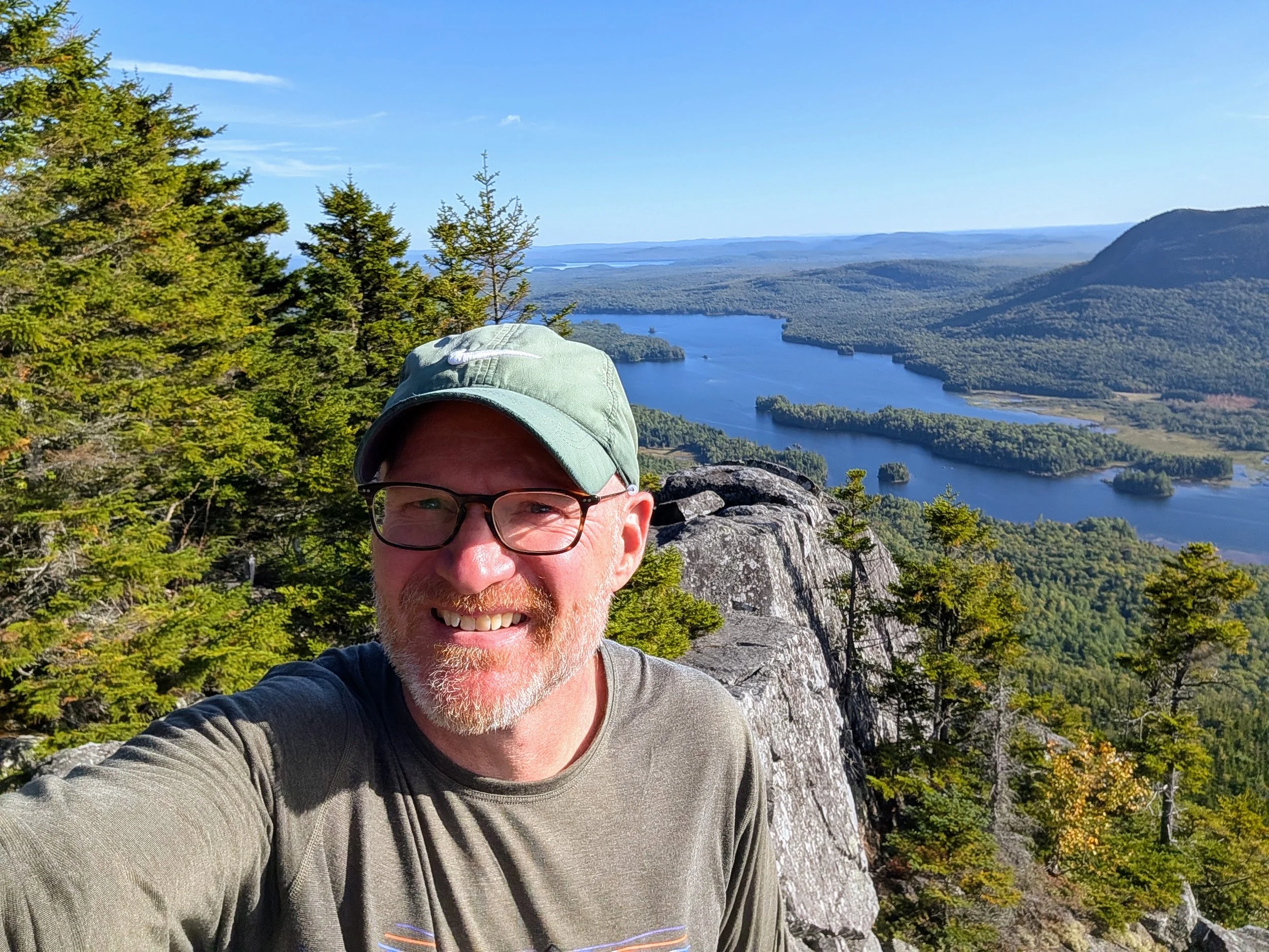
The view part way up Barren Mt.
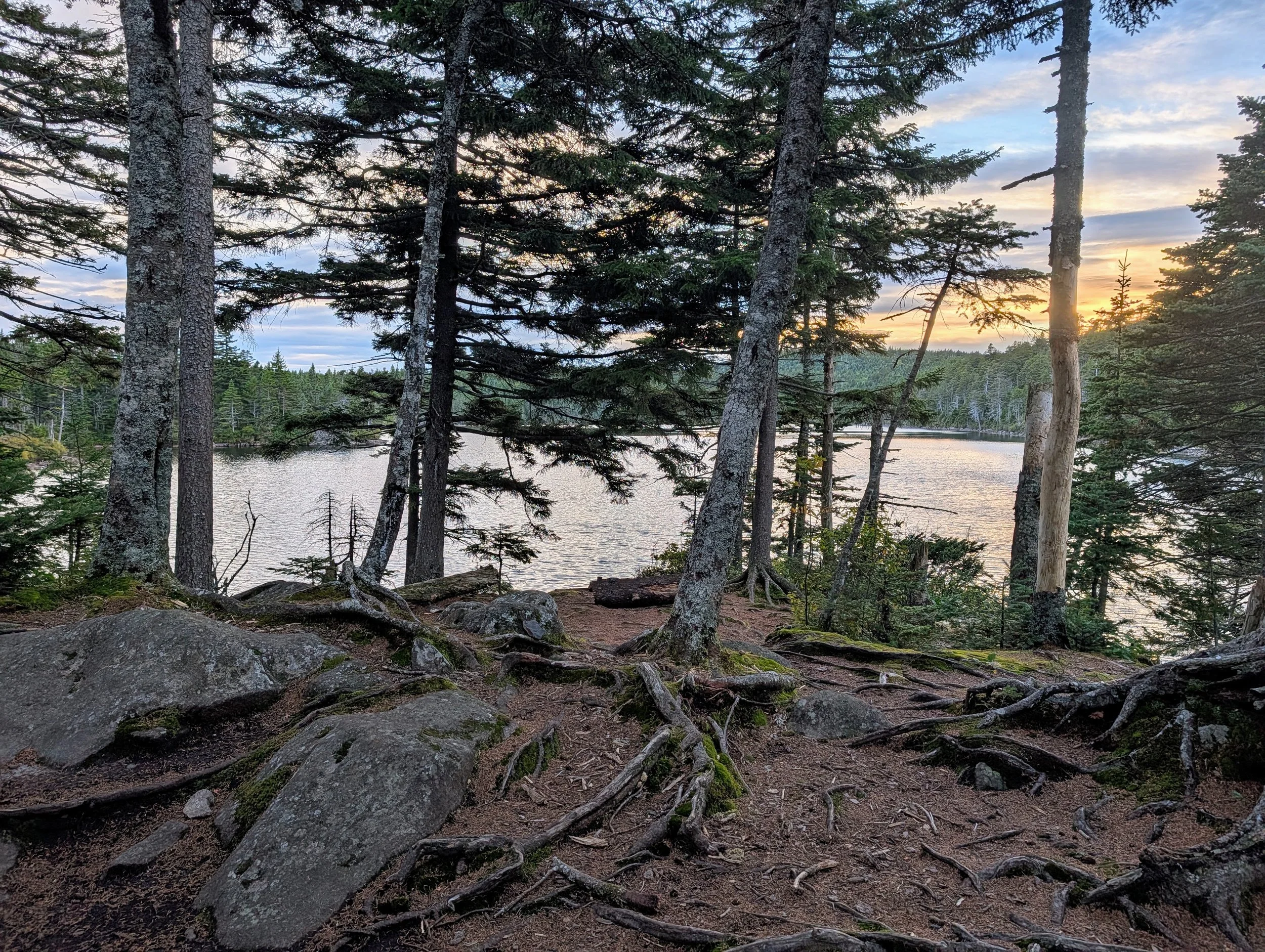
The view from my tent at Cloud Pond
Day 2 - Cloud Pond (almost) to Carl Newhall, ~15.5 miles, 2,800 ft of elevation
I woke up at 6:30 AM—later than planned. After breakfast, a privy run, filtering water, and breaking down camp, I was back on the trail by 8:00 AM. A light morning drizzle prompted me to don my rain jacket, but the skies quickly cleared.
Heading up the spur trail (a short, dead end trail) back to the AT, I briefly wondered if I had forgotten anything. I considered turning back to check, but decided against it—cue the blatant foreshadowing.
About an hour later, I realized I couldn't recall packing my tent stakes. Bothered, I stopped to search the top compartment of my pack, where I typically put them. No stakes. I didn't tear the pack apart, but hoped I had absentmindedly stashed them elsewhere or that a northbound hiker might recover them. Later that afternoon, another hiker passed me and asked, "You were the one right by the water at Cloud Pond, right? I saw a bag of tent stakes, but didn't grab them because I didn't know which direction you were headed." Hmm, now there is a zero chance of the stakes making their way back to their owner.
I spent the rest of the day berating myself for the blunder and stressing over how to pitch a trekking-pole tent without stakes. Ultimately, I resolved that a little adversity makes for a better story. (Product enhancement request for Durston: Make the stake bag bright orange instead of dark green!)
After laboring up a steep ridge, I reached a clearing with an expansive vista. In the distance stood a lone, prominent peak. Without thinking, I blurted out, "That must be Katahdin."
A young woman from the Cloud Pond crew was sitting nearby and countered, "That peak is about five miles away."
I took another look. Right—Katahdin was still 80 miles north, and this peak was both far too close and heavily tree-covered. First the tent stakes, now this; she must have questioned my mental fitness for the backcountry. Over the next two days, I kept bumping into her group, and she would sincerely ask how I was doing. I was mildly relieved when they pulled ahead for good on Day 3.
I had planned on a 17-mile day, but stopped 1.5 miles short of Carl A. Newhall Shelter. I was spent, and I knew the crowd from Cloud Pond was staying there. Instead, I set up camp at a dispersed site right along the trail by a small stream. I thoroughly enjoyed the solitude.
And as it turns out, sturdy sticks, heavy rocks, and fallen logs make excellent substitute tent stakes.
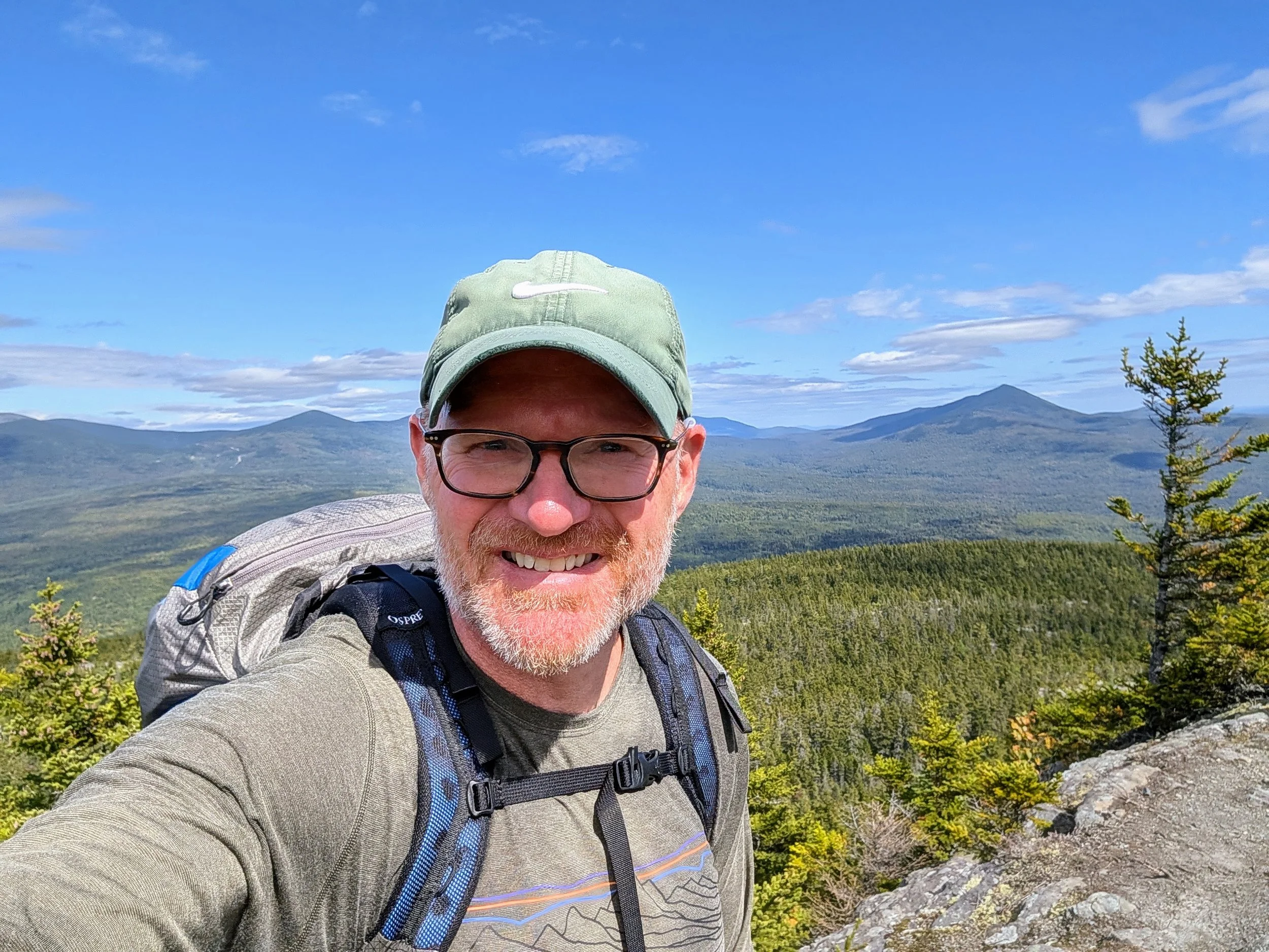
The weather cleared up for some great views on top of Chairback
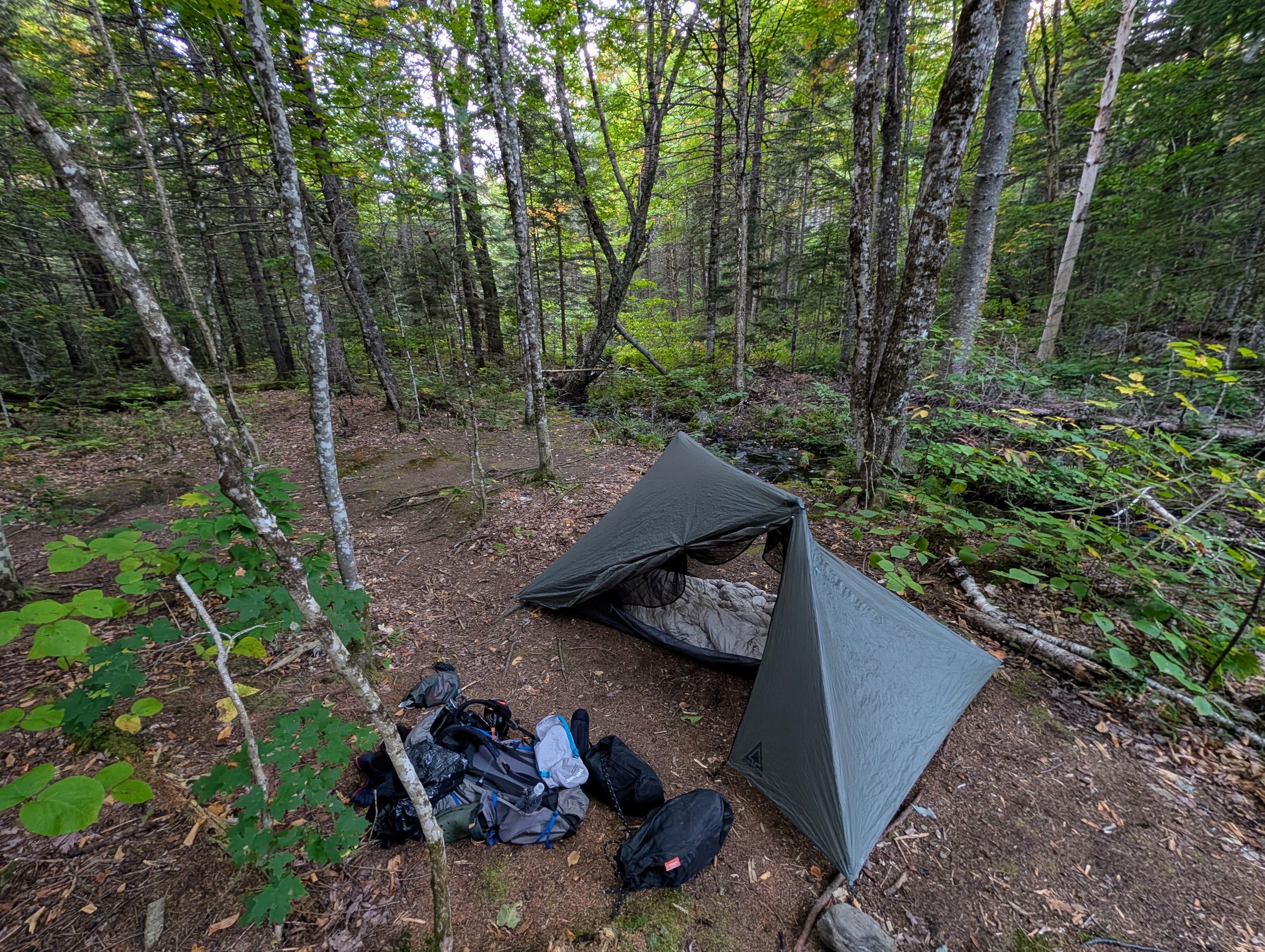
My campsite for night 2
Day 3 - Almost to Carl Newhall to East Branch Shelter, ~12.5 miles, 3,000 ft of elevation
Although Day 3 involved climbing Whitecap Mountain, the shorter 12.5-mile distance felt much more manageable. From Whitecap's summit, the base of Mount Katahdin was visible, though clouds obscured the peak.
One of the most striking aspects of the trail is how rapidly the environment shifts: one minute you're gliding along a smooth path through a spruce forest with green ferns and mossy rocks; the next, you're scrambling over roots and rocks framed by brilliant autumn hardwoods. After a grueling Day 2, a shorter day was just what my legs needed. I pitched my tent at the East Branch Lean-To and had the entire site to myself.
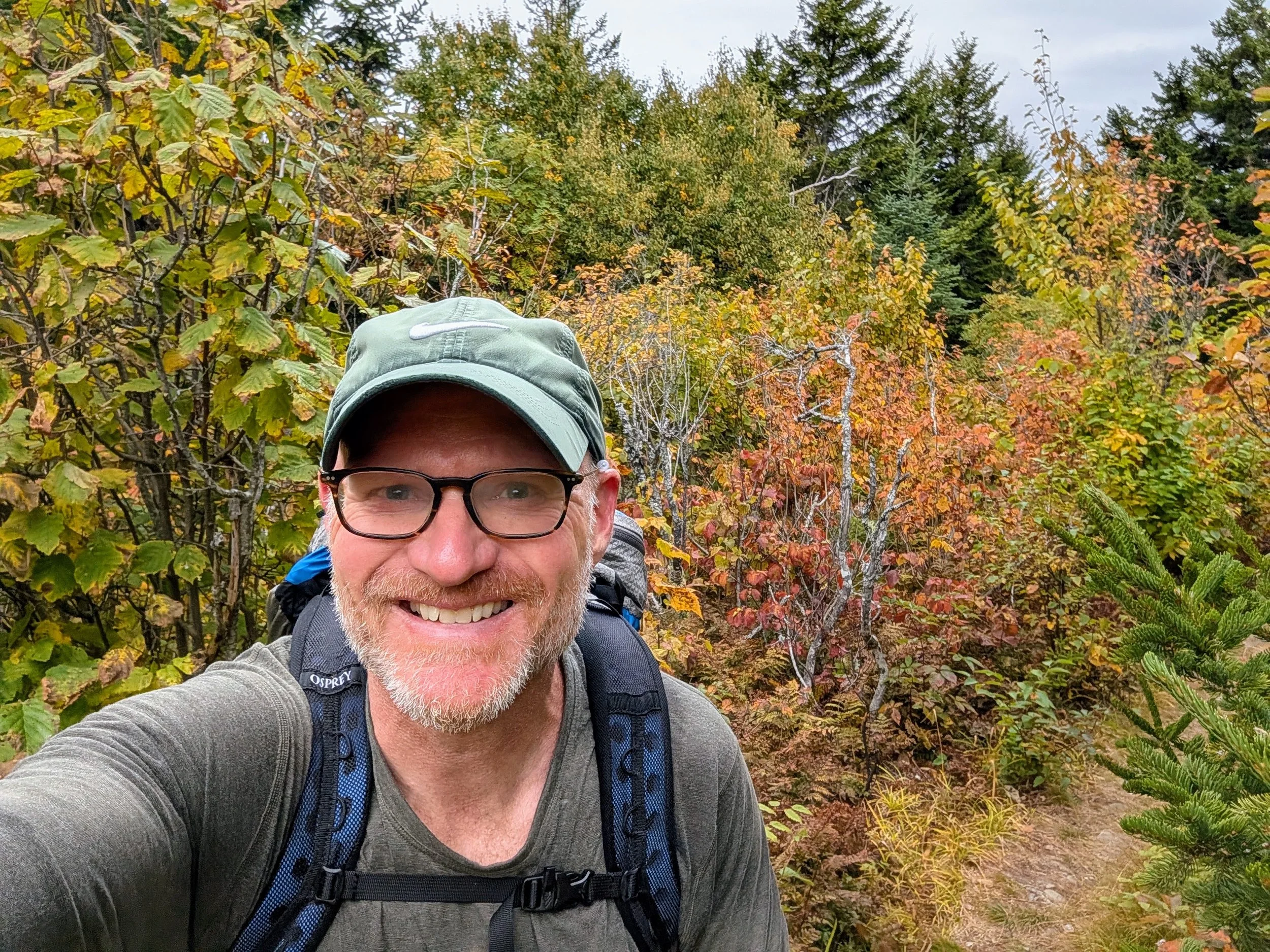
Colorful trail as leaves are turning
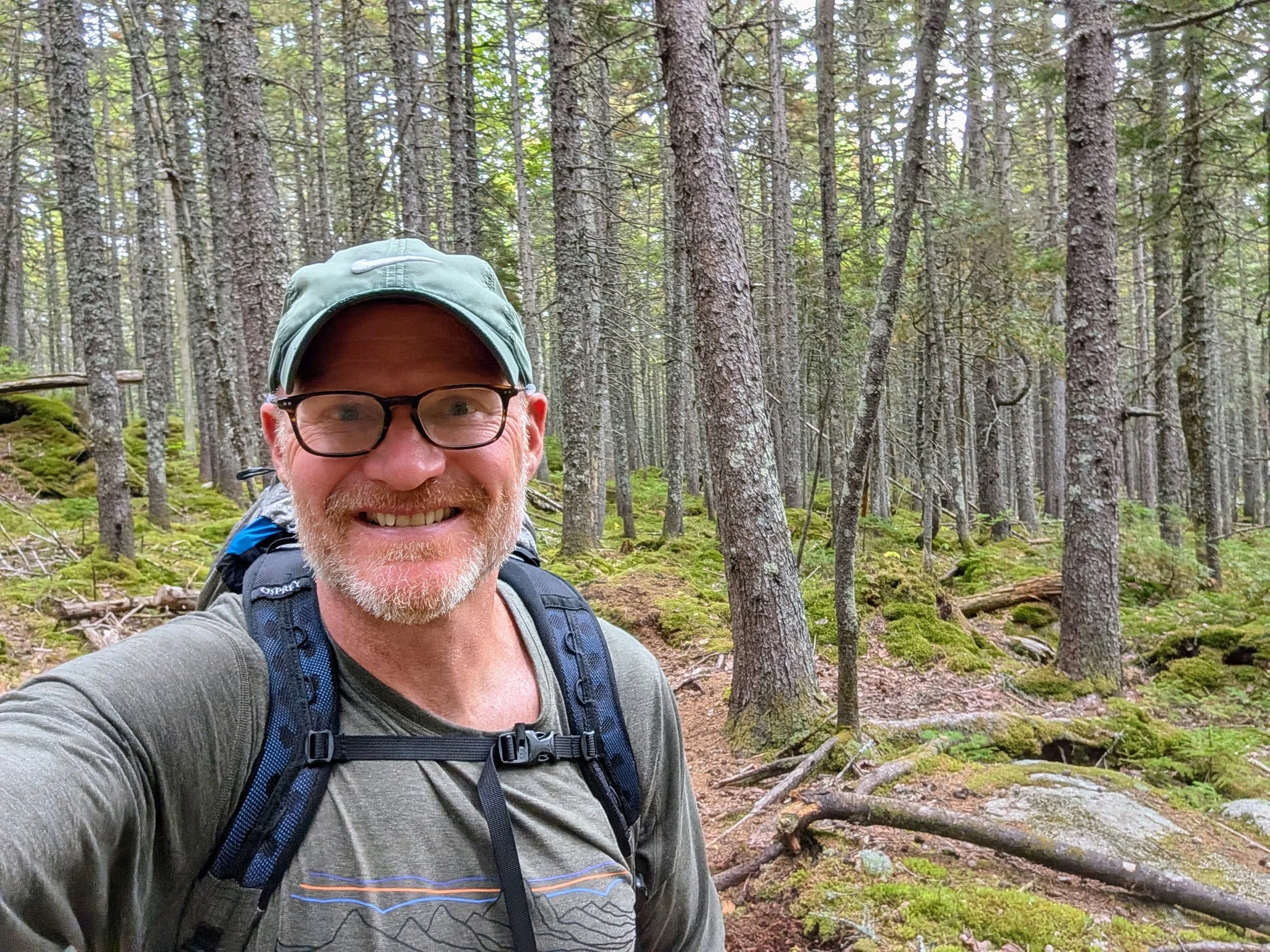
Back into the firs
Day 4 - East Brand to Potaywadjo, ~19.5 miles, 1,400 feet of elevation
After a thorough wilderness bath and a fresh shirt, I hit the trail feeling refreshed. Realizing my remaining itinerary featured shorter mileage over gentler terrain, I saw an opportunity to finish a day early.
Catching intermittent cell service, I checked in with Jesslyn, who was happy to adjust our pickup plan to Sunday instead of Monday. To set that up, I added 3 miles to Day 4’s original plan and reached Potaywadjo.
At Jo Mary Road, Shaw's Hiker Hostel manages food drops for hikers who arrange them in advance. Instead of picking up supplies, I offloaded my excess trail mix, Clif Bars, and meat sticks to lighten my pack. Between shaving a day off the trip and overestimating my daily appetite, I had far more food than necessary.
At Potaywadjo, I opted to sleep inside the shelter rather than set up the tent. I built a small fire for ambiance over dinner and enjoyed another night of complete solitude, being the only one at the site.
Day 5 - Potaywadjo to Rainbow Stream, ~19 miles, 2,000 feet of elevation
I woke up and started getting ready for the day at 5:00 AM, completing most of my morning routine by headlamp. Putting on a clean shirt the previous day had felt so good that I regretted not bringing extra underwear. I decided to wash my current pair as best I could and wore long johns with shorts over them while they dried.
I pinned the wet underwear to the outside of my pack, but cool temps and dense shade meant zero drying progress after an hour. Disliking the feel of hiking in long johns, I put the damp underwear back on, trusting body heat to finish the job. It worked!
Despite the long mileage, I paced myself. I stopped at a picturesque stream for a poorly executed self-timer photo shoot and enjoyed lunch by Nahmakanta Lake. On most days, I rarely paused—stopping only long enough to filter water or grab food to eat on the move.
Along the trail, I startled a medium-sized four-point white-tailed buck. It bounded about 30 yards off the path, then stopped to peer back through the branches. It was curious, and even took a few steps toward me. We had a brief staring contest before it bounded off into the woods. This was the only major wildlife sighting of the trip. I did see and hear loons and there were plenty of moose droppings, but no actual moose.
Day 5 was taxing. The final two miles felt endless. Upon reaching Rainbow Stream, I found two other tents pitched and a few hikers were settling into the shelter.
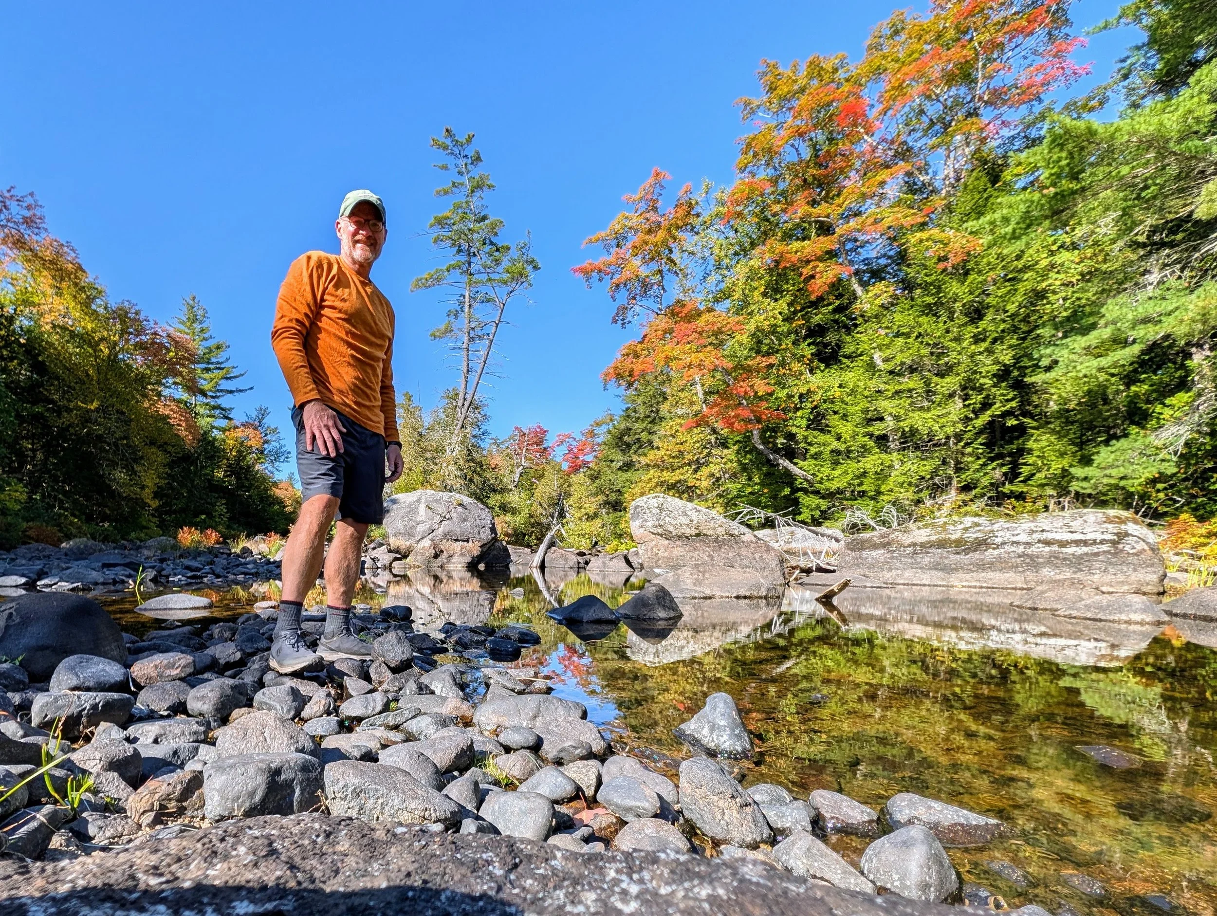
My not-so great attempt at some self photography
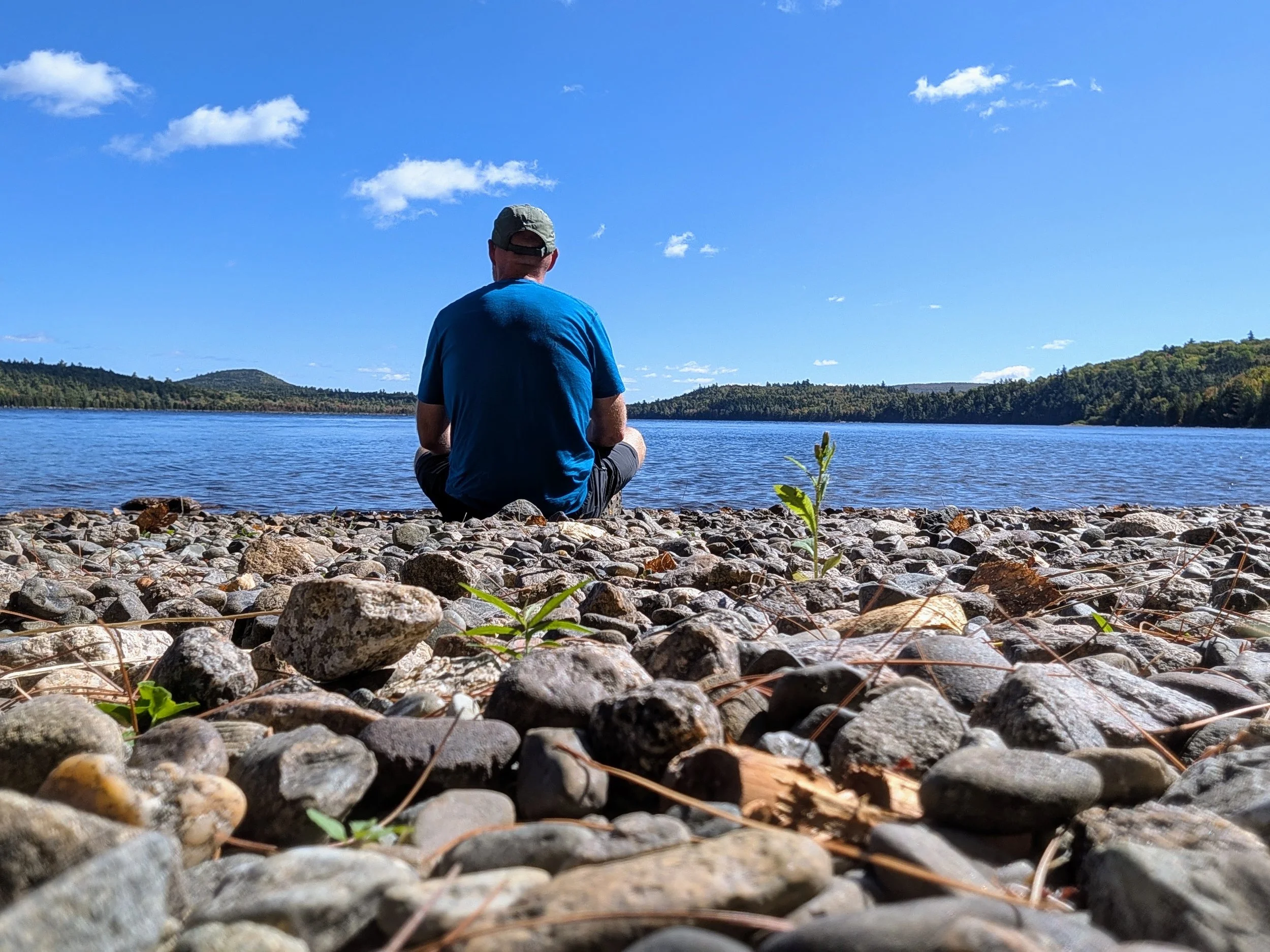
Peaceful spot on Nahmakanta Lake for lunch
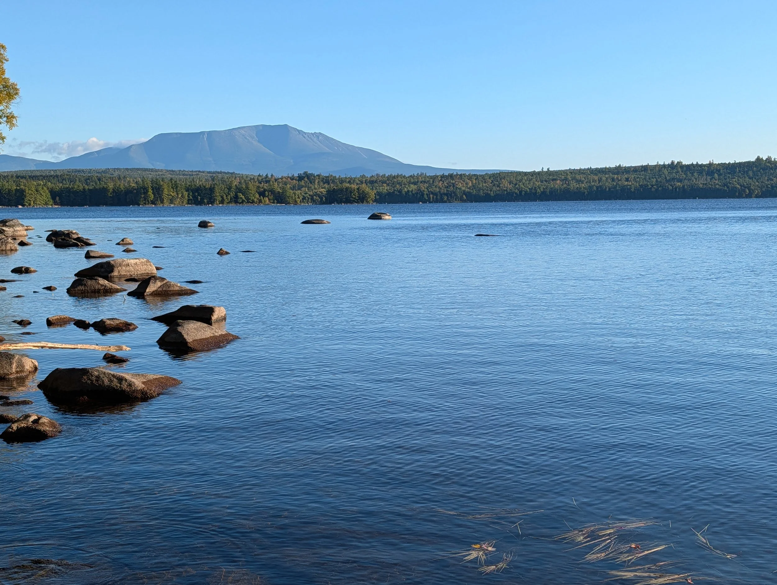
My first sighting of Katahdin’s peak over Pemadumcook Lake
Day 6, Rainbow Stream Shelter to Abol Bridge, ~15.5 miles, 1,300 feet elevation
Thoughts of a cold beer and a hot shower carried me through the final 15.5 miles to Abol Bridge. I arrived a couple of hours before Jesslyn was due to pick me up, right before a light rain began.
At the Abol Bridge Campground and Store—the first outpost in 100 miles—I paid for a bar of soap, deodorant, a clean t-shirt, and a hot shower. Afterward, I chatted with some through-hikers over a PBR and a bag of Doritos.
Next to people completing a 2,200-mile journey, a 100-mile section hike feels modest. So when Jesslyn pulled up, yelled, "Congratulations! I'm so proud of you!" and threw her arms around me, I was a little embarrassed in front of my new friends who had been at it for 5 months! No big deal, they were cool (and a little stoned), but mostly, I was happy to see her smiling face again.
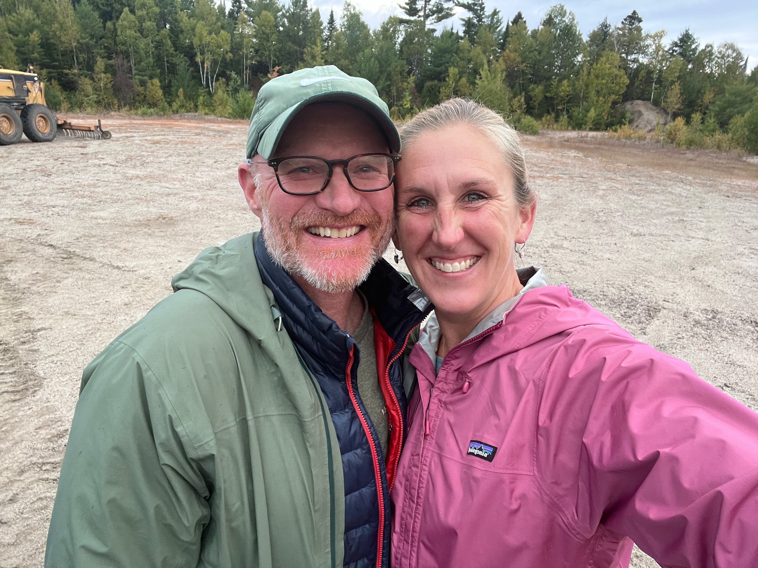
Done!
Days 7 and 8 - North Brother and Katahdin
Having completed the New Hampshire 4,000-footers, I decided to expand my goal to all of New England. That adds 5 peaks in Vermont and 14 in Maine—including 3 in Baxter State Park right near the finish line.
Jesslyn, ever supportive, agreed to work remotely from an Airbnb in Millinocket so I could tackle North Brother, then Hamlin and Baxter Peaks on Katahdin.
After a relatively easy warmup on North Brother, I took on Katahdin the next day, completing a loop across the Knife Edge—the notoriously narrow, steep, and exposed granite ridge. The weather was spectacular, and crossing the Knife Edge was incredible (though definitely not recommended for anyone with a fear of heights or two left feet!).
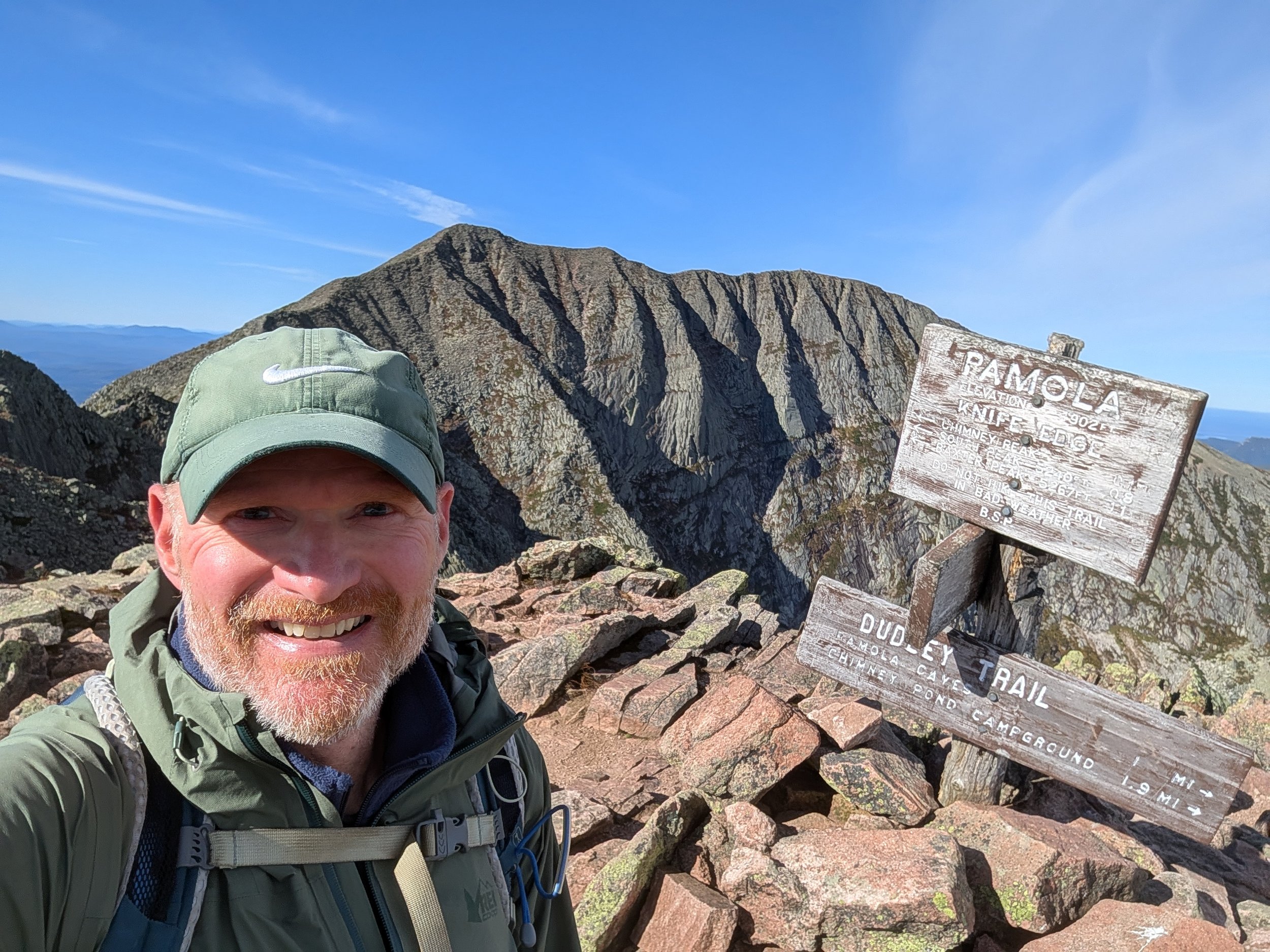
Atop Pamola, about to tackle the Knife Edge
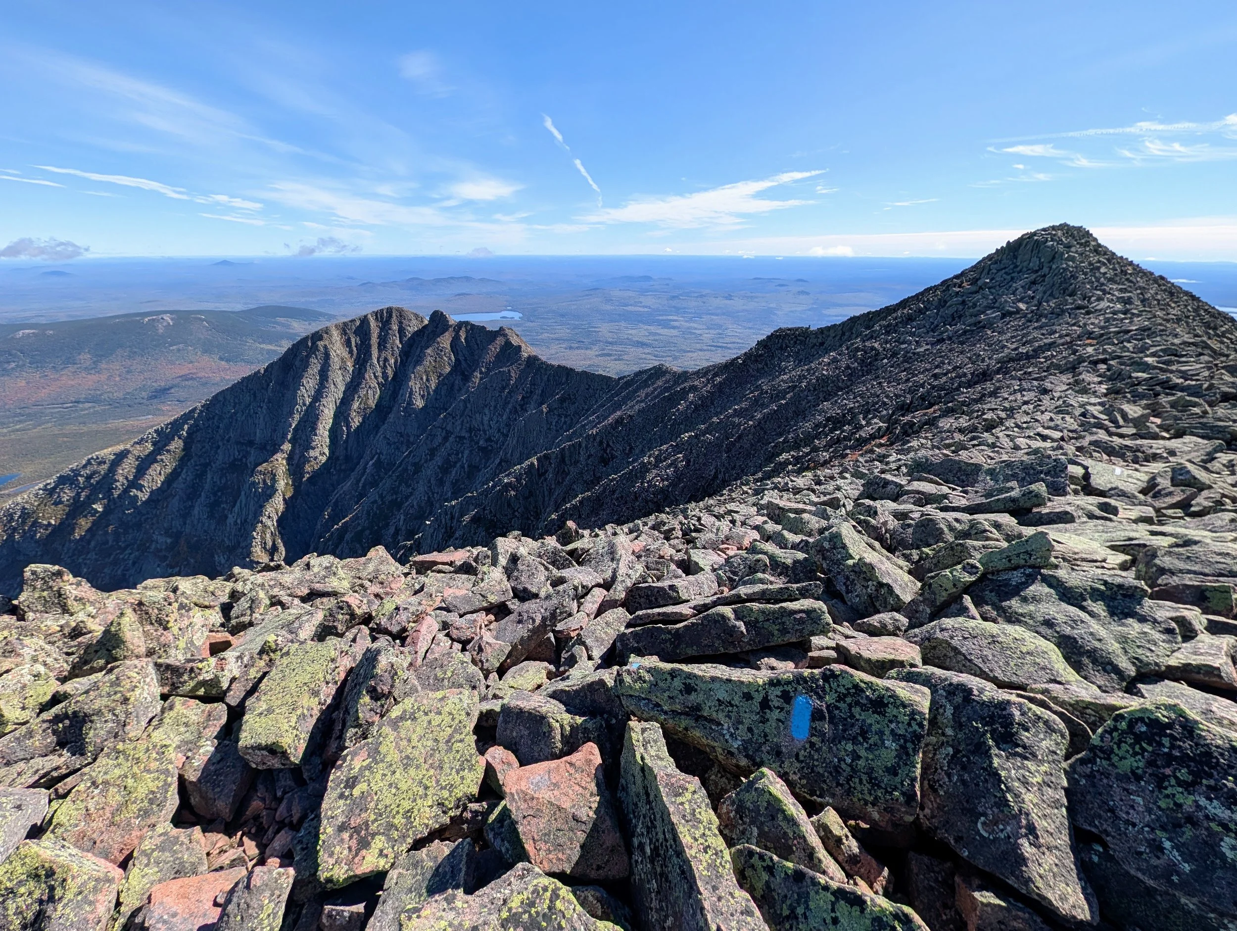
Looking back at the Knife Edge I just came over
Food
Because there are no towns or traditional resupply points along the 100-Mile Wilderness, you must carry all your food from the start (unless arranging a remote road-drop).
Calorie calculators suggested I would need roughly 5,000 calories per day. In reality, I overpacked significantly and ended up donating surplus Clif Bars, meat sticks, and trail mix to the hostel drop at Jo Mary Road.
Typical Daily Menu:
Breakfast: Cold oatmeal with walnuts and powdered milk
Morning Snack: Clif Bar
Lunch: Flour tortilla with peanut butter
Afternoon Snacks: Trail mix and a meat stick
Dinner: Mountain House Freeze-Dried Meal (Chicken Tikka Masala was the clear winner)
Caffeine: Nuun electrolyte tablets with caffeine in the morning and occasionally some chocolate covered espresso beans in the afternoon if I needed a pick-me-up.
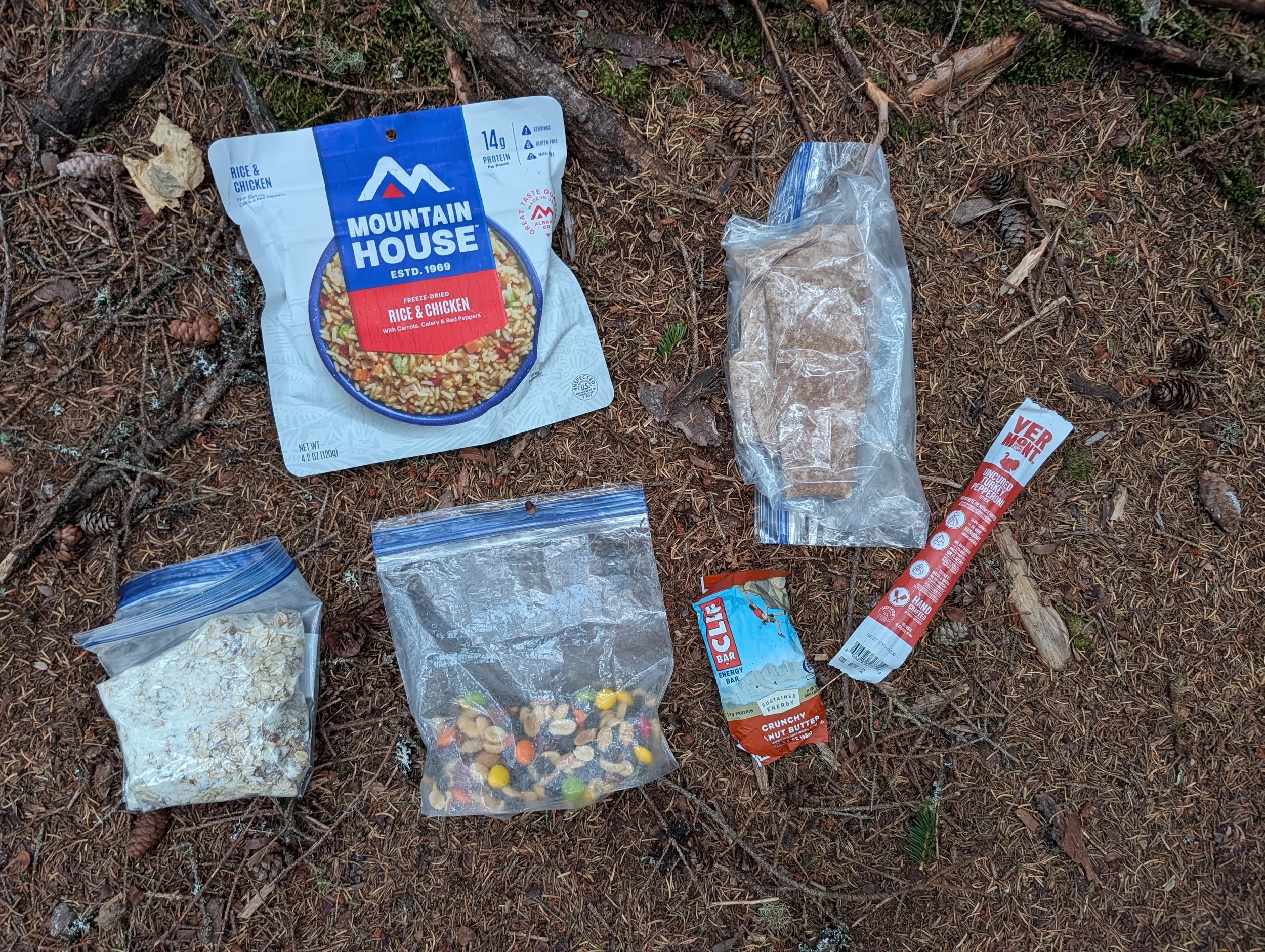
Food for the day
Safety
Before the trip, the two most common questions I received were: "Are you bringing a gun?" and "Are you bringing bear spray?"
I brought neither because the actual risk is near zero. People overestimate the danger of Maine black bears; there has never been a recorded fatal bear attack in the state's history. (I do carry bear spray out west in grizzly country—those animals are a different story.)
I had some initial nervousness. On the first two days, whenever I heard a rustle in the woods, I clacked my trekking poles together to avoid surprising anything, and I didn’t sleep well. By the end of the week, I was intentionally quiet, hoping to spot a bear and slept easy.
Other dangers people were concerned with are other people and getting lost. Violence on the AT is extremely rare—far lower than the risk in average urban areas. I didn't give it a second thought. The AT in Maine is extremely well-marked with white blazes. I carried offline GPS maps on my phone with a backup battery, plus paper Tyvek maps and a compass. Getting lost was never a concern.
The primary risk on a remote trail is an incapacitating injury. My safeguard was a Garmin InReach satellite messenger with an SOS button connected to emergency services, paired with search-and-rescue insurance. Even without satellite comms, a dozen or so hikers pass through daily.
Health and Fitness
I started focused training in May. My routine consisted of hiking a 3-mile loop at Whipple Hill with 35 lbs of rocks in my pack before work, plus 7.5-mile weekend loops on the Skyline Trail in the Middlesex Fells. Having late summer off work gave me time to step up the intensity with double loops in the Fells, the Pemi Loop trip in the White Mountains, and several Maine 4,000-footers.
That preparation paid off, enabling me to finish the 100-Mile Wilderness in six days. Still, it was a sustained effort. Days 2 and 5 left me completely drained, and my legs and feet ached every night. I spent time stretching and massaging my quads and glutes in the tent to ease the soreness.
My feet held up well, though I developed callouses on the balls of my feet that felt like something was in my shoes. When hot spots started forming on my right toes, applying Aquaphor each morning solved the problem.
Having managed knee and ankle issues for years, I was worried my joints might fail me. Leading up to the trip, I had a gel injection in one knee, cortisone shots in both knees and my right ankle, and started Meloxicam for inflammation. Happily, my joints held up far better than expected. After three days of rest, my legs and feet are finally getting back to normal.
Trail Names
Most thru-hikers adopt a trail name—either given by fellow hikers or self-assigned. On the trail, I’ve met everyone from Red Panda and Reflector to Bushwhacker, Crutches, and Tent Stake. Because trail names often stem from an embarrassing mishap, I decided to preemptively choose my own. It wasn't easy; whenever I asked friends what their name would be, I got blank stares. Eventually, I landed on 'Cappy'—short for 'Captain Literal,' my wife’s nickname for me whenever I take her words at face value rather than reading her mind. Introducing myself as Cappy felt bizarre, and I quickly wished I’d just used my real name and let a trail nickname happen naturally.
Gear
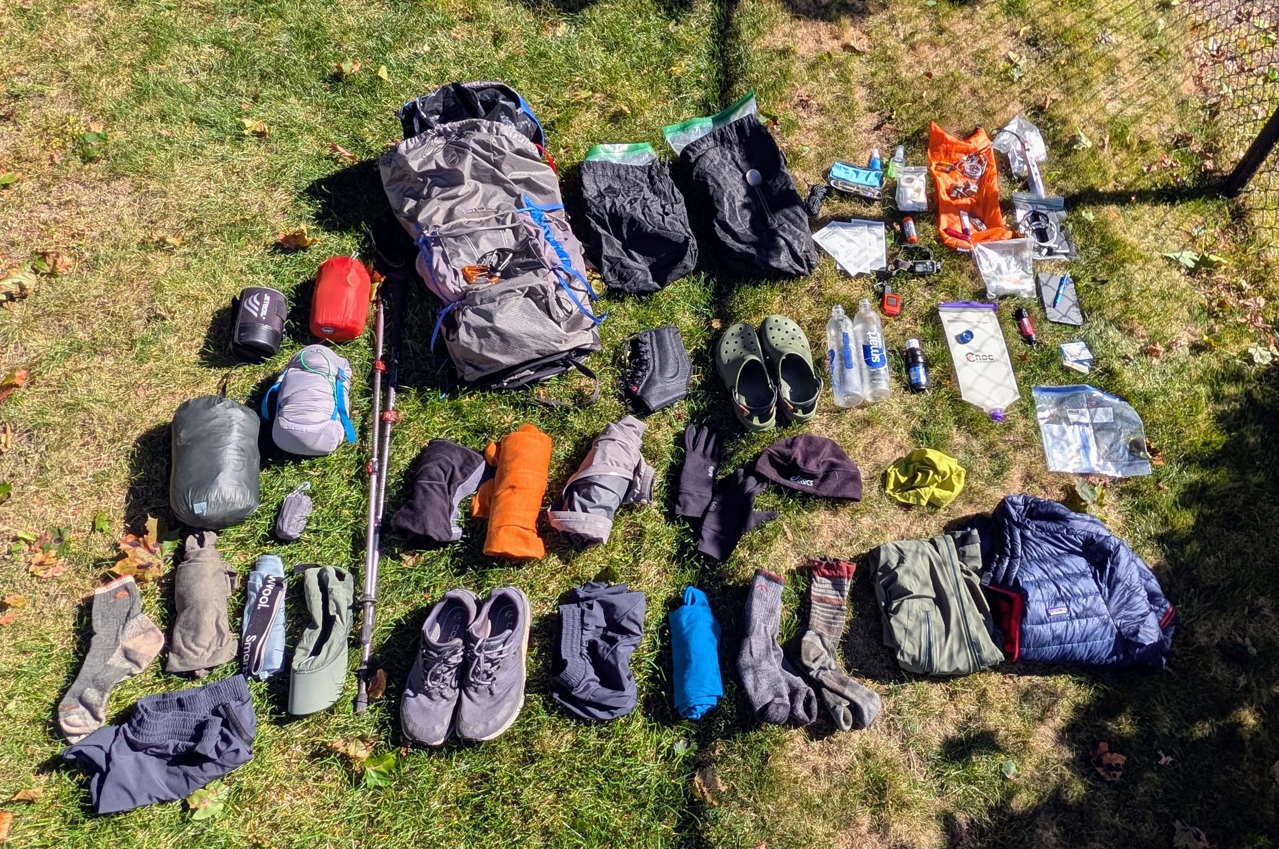
What to bring, what to bring… That is a balancing act of reducing the weight of my pack with having what I need to be safe and comfortable. Overall, all my gear worked out great, although I didn’t really need all of it. My base weight (gear only) was around 20 lbs. and my pack weight (gear plus food) was around 33 lbs. I can go lighter, and will the next time around. This is what I brought:
Backpack - Osprey Exos Pro 55 - A lightweight pack and just the right size.
Pack liner - Contractor trash bag. I didn’t get much rain, so I'm unsure of how effective it was. I didn’t bring a rain cover since they don’t work all that well in my experience. Using a liner is nice because I can put wet stuff in the pack, but outside the liner, like I did with my tent fly one morning because it was wet with condensation. I also keep my rain gear outside the liner so I don’t have to open it up when it starts raining.
Tent - Durston X-Mid 1. A lightweight tent that uses trekking poles. I love this tent because it is so small and lightweight, easy to set up, and provides great protection from the elements.
Sleeping quilt - Therm-a-Rest Vesper Quilt 20. A sleeping “quilt” was a new concept for me. It is like a bag, but with a section of the bottom removed in order to reduce weight and bulk. The 20 degree rated quilt was more than I needed for this trip. While I brought top and bottom thermals to sleep in, I didn’t use them since this quilt kept me toasty in shorts and tee shirt.
Sleeping pad - Big Agnes Rapide SL Insulated. I opted for a pad that was a few ounces heavier in order to get 4” of thickness instead of 3”. It works great, and I realized it was more comfortable if I didn’t blow it up all the way. It uses a bag to inflate not only to save you from getting dizzy, but also to prevent the moisture of your breath causing mold to grow inside.
Pillow - Sea to Summit Aeros Ultralight. Probably a luxury, but at 2 ounces and taking up almost no space, this inflatable pillow was welcomed.
Trekking poles - MSR DynaLock Explore Backcountry Poles. One of the few items that I have owned for a long time.
Headlamp and spare batteries - Black Diamond Storm 450. It is nice to have a head lamp with adjustable brightness and a red light option to help keep your night vision and not blind other people. Didn’t need the spare batteries.
Stove and fuel - Jet Boil Zip. I only used this to heat water for rehydrating freeze dried meals. It heats up water super fast. I used the pot to eat cold oatmeal in the mornings.
Eating utensil - MSR Titan Long Spoon. A titanium spoon for eating my freeze dried meals and oatmeal. A plastic one would have worked just fine.
Trowel - Bogler Ultralight Trowel. I only needed it once when I camped at a dispersed site which doesn’t have a privy.
Water bladder - Cnoc VectoX, 2L. I used this for scooping spring, stream, or pond water to be filtered. If water were scarce, I could store water in it as well, but it wasn’t necessary.
Water filter - Sawyer Squeeze Filter. This threads onto the water bladder and my water bottles, then you squeeze the bladder to force water through, or hang it to let gravity do the work more slowly. I also brought a Sawyer Mini filter as a back up.
Water bottles - SmartWater, 1L. I reused a couple of SmartWater bottles. They worked OK, except both caps ended up cracking resulting in small leaks. A little duct tape seemed to fix this.
Bear bag - Ursack Major 10L and 15L with OPSAK Odor-Proof Barrier Bag. The Ursack is a soft bag made from indestructible material preventing bears from getting into your food. The recommended hanging technique is not to suspend it from a branch, but secure it directly to the trunk of a tree just above a branch as high as you can reach. This way a bear can’t remove the bag or get any leverage on it. Luckily, these bags didn’t get tested against a bear. I brought too much food, and could have gotten away with only the larger bag.
Watch - Timex Ironman. I went old-school, leaving the Garmin behind. I didn’t want to worry about charging a watch on the trail, and didn’t care about recording my activity.
Toiletries - Hand sanitizer, toothpaste, toothbrush, toilet paper, wipes, liquid camp soap, medicine, small backpacking towel.
First aid - Bandaids, tweezers, gauze, medical tape, Neosporin. A basic kit that I put together myself.
Safety - Waterproof matches in a waterproof case (used to start a fire one night), home made fire starters (didn’t use), paracord (used it tie down my tent to rocks and logs after losing my stakes), bug spray (didn’t need it), maps (referred to them often as I wanted to save the battery on my phone), compass (didn’t need it), Garmin InReach (fortunately didn’t need to use the SOS feature, but it was useful to send satellite texts letting Jesslyn know where I was camped each night, and to get weather forecasts).
Misc - Backup pair of prescription glasses (didn’t need), duct tape (used it to patch a hole in my down jacket, and to patch holes in the caps of both water bottles), small multi-tool (used the blade to cut paracord), carabiners (used to secure Crocs and trekking poles to my pack and to secure bear bag to tree), battery pack with charging cables for my phone and Garmin InReach, phone, Kindle (could have left this at home), ear buds, cash, ID, credit card.
Clothing
Patagonia Capilene Cool Trail, longsleeve. This is my first capilene shirt, and I love it. It dries super fast. After getting sweaty on the trail, it was dry by the time I put up my tent, so I ended up sleeping in it as well. I will be getting more of these.
Smartwool boxer briefs. My go-to for outdoor activity. I was able to wash them, then wear them wet until they dried out.
Darn Tough Midweight Hiker socks (x2). These are the gold standard for hikers. If I were trying to be ultra lightweight, I wouldn’t have brought the backup, but it was nice to put on clean socks midway. I also brought a thicker pair of Smartwool socks to wear around camp and to sleep in, but I didn’t use them at all.
Souke Sports Quick-Dry Running Shorts (with the liner removed) (x2). I love these shorts for hiking and mountain biking. They are a bit more rugged than typical running shorts and sport 2 large zipper pockets. I brought the second pair to put on over my thermals to wear around camp, but didn’t need them.
Nike Golf baseball cap. I’ve had this hat for about 12 years and it has been around the world with me, and it looks the part. The only problem with a baseball cap is the visor can obscure branches across the trail.
Topo Athletic Traverse Shoes. After trying on over a dozen pairs of boots and trail shoes, and doing a lot of hiking in Salomon Quest Tracker boots, I landed on these lightweight trail shoes. I thought I would be hiking in stiff, supportive boots, but it turns out I didn’t need them. I brought an ankle brace, but didn’t need it. The majority of hikers are wearing lightweight, quick-drying shoes these days instead of heavy, waterproof boots. And most of them were Topos. The reason is that waterproof boots are still likely to get wet inside from water getting in through the top. And once they are wet, they will not dry out on the trail. My shoes got wet a few times, and my socks and shoes both dried out quickly. These shoes worked out great for me.
Patagonia Down Jacket - This is to put on once you reach camp as you are not generating body heat and the temperatures drop. A must have.
Smartwool Merino, short sleeve. I threw this in at the last minute, and not sure why. It was nice to have a change of shirts midway, but probably could have just washed my Capilene shirt. I had great weather, so short versus long sleeves didn’t really matter. The merino shirt worked great, but doesn’t dry as fast as the Capilene.
Smartwool Merino, long sleeve shirt and bottoms. I brought these to wear around camp and to sleep in. I didn’t need them for either purpose since my puffy jacket and sleeping quilt are plenty warm enough. Perhaps if it was raining all day, and I needed something dry to put on, they would have been more useful. I did wear the shirt to start hiking a couple of mornings because it was cool, but I didn't really need it. I wore the bottoms for a couple hours waiting for my boxer briefs to dry after washing them.
Crocs. WTF, you own Crocs!? Yes I do. These were intended to be worn around camp, but were not necessary at all. My hiking shoes are comfortable enough. I did use them to wade across 2 streams and they came in handy for that. Some hikers don’t bother with water shoes, and just take off their socks and wade through in their hiking shoes (or even leave their socks on). I might give that method a try on a shorter trip. While the Crocs don’t weigh much, they are bulky.
Fleece Winter hat - I used this on a couple of nights when the temperatures dipped to 40 degrees.
Lightweight fleece gloves - Didn’t use them at all on the 100 mile wilderness, but did use them hiking up North Brother because it was cold, and I was scrambling over cold rocks.
Gore-tex rain jacket - Luckily only put this on briefly one morning in a very light drizzle.
Gore-tex rain pants - Didn’t need them at all, thanks to the awesome weather!